
About 'Walking the Islands...'
'Walking the Islands…' is about heading away from the beach and discovering the Greek Islands on foot.
To find out more about the groups and individual islands just click on the links on this page.
Each island pack contains routes from 20 minute strolls to full day hikes, as downloadable, zipped PDF files and in most cases KMZ files showing a map the route in Google Earth.
You can buy the Walking the Islands packs online. Just follow the links to our shop page.
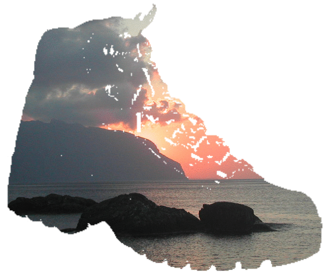
Click to download a free sample
A free Contents List of each pack can be downloaded from the individual island "Walks & Info" page.
You can print the PDFs or use them on your handheld device. If you have any problems with downloading, please have a look at our Hints and Tips page.
About the walks
Each walk begins with the following information...
-
estimated distance (in kilometers)
-
approximate walking time (for an average walker in warm weather - stops are not included, so do allow yourself extra time to pause and enjoy your surroundings)
-
total climb or descent (in metres)
-
difficulty
-
any points of special interest
-
any particular recommendations
The walks begin and end at accessible places, often the main port on each island, and on some we include road access symbols, enabling you to walk sections if you prefer.
In most cases, we've included waypoints (GPS or what3words) and in most packs we include matching KMZ files that can be read in Google Earth or you may prefer to convert them into a format for your navigation device. Just look for the logo on the contents list
How can I follow a walk?
First read our hints & tips, which include some safety considerations. Then follow the instructions, looking for landmarks, but of course be flexible enough to recognise things change. We try to keep walks up to date but you may not find every detail exactly as we describe. We always welcome your feedback on the walks, and by providing us with updates you can help us to keep the details current.
Walking the Islands uses a standard set of terms explaining what we mean by the terms we commonly use in the walks in our glossary.
A compass or good sense of north, south, east and west is pretty handy, as we use them in the walks and bearings for identifying distant islands from viewpoints.


'Walking the Islands...' is for you if you enjoy...
-
exploring the islands on foot, strolling, rambling or hiking
-
views across the archipelago
-
inaccessible coves and beaches
-
the Greek countryside, coasts and village life
-
flowers, trees, birds, and butterflies
-
chapels, shrines, monasteries, farmsteads, springs wells and fountains
-
safe and easy waymarked paths, donkey tracks, monopatia or more challenging uncharted tracks and trails
-
lonely summits and inspiring rock scenery
About maps
Three series of excellent maps complement the walks very well and we recommend Anavasi Topo, Terrain and Orama
We refer to other maps too, but generally the older tourist maps you can buy on the islands are not to be relied on.
In some cases, waymarked routes are appearing and we refer to them where relevant. Most Walking the Islands... walks include waypoints too.


Please let us have your feedback
If you have tried Walking the Islands and have any feedback or extra information which may be of interest to other walkers, have general suggestions about the website, or some other favourite walking islands you'd like to publicise...please do e-mail us at walkingtheislands@gmail.com
