
Skyros
Skyros is a rather detached member of the Northern Sporades group, lying 60Km away from the other Sporades, Alonnisos, Skopelos and Skiathos. There is a daily summer hydrofoil connection. It’s much larger, a 30 x 10 Km dumbbell shape but with a population of only about 3000.

Architecturally, it has a distinctive character, part Sporades, part Cyclades, but the delicious smell of pine trees which welcomes you into the woods is reminiscent of the other Sporades.
Skyos has
-
a pirate-proof hilltop Chora par excellence, with a Venetian Castro atop a towering crag
-
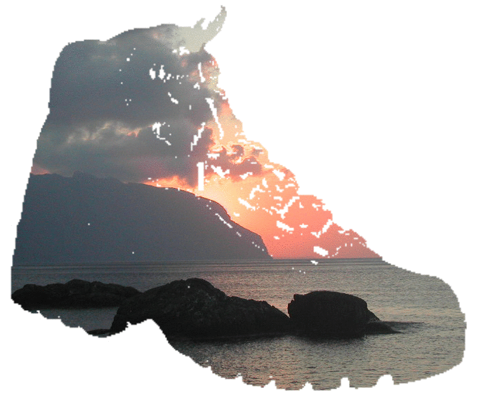
pine-clad hills with limestone crags
-
Skyros is an island of two halves. The lower north is forested, with the craggy peaks of Afanes, 400m, rising above the treetops. The 3Km isthmus, currently farmed, which you cross as you head into the southern half, barely rises above sea level. The ground to the south rapidly rises however to Mount Kochilas (Κοχηιλας), a 790m bulky limestone dome, double the height of Afanes. The southern hills are very empty and fairly arid, though there are wild ponies that shelter in little holm-oak filled hollows high in the hills.
-
a strong cultural, historical and artistic identity notably promoted by Manos Faltaits in the Faltaits museum
-
a strong link with Theseus and Achilles, who hid here disguised as a girl, hence the port of Achilli
-
the tomb of Rupert Brooke at Tris Boukes Bay, commemorated by a statue near the Castro
-
the Skyros Centre, a holistic holiday community based at Atsitsa (Ατσιτσα), on the west coast
Staying on Skyros
Rooms are plentiful in the Chora, in Linaria and in the beach villages of Magasia Molos and Pouria in the coastal strip area under the crag. There are campsites here and at Linaria.
There are one or two hotels scattered about, including one at Acherounes and one at Kalamitsa, almost the only habitation on Vouno, the southern half.
Getting around Skyros
-
Skyros, out on its own, has much less of a transport network than the inner Sporades, though there are roads between the towns, ports and villages, taxis and vehicle hire as with the other islands.
-
A bus links the port of Linaria, via Aspous and Achilli to the Chora, Molos and the settlements on the coastal plain nearby.
-
There is little in the way of a day boat service.
-
The paths and tracks are variable with, as yet, no formally waymarked routes
-
One issue here is that the southern massif is very unfrequented and so it’s important to take the necessary precautions when walking there, see our Hints and Tips section.
Getting to Skyros
-
By sea, it’s less accessible than the other Sporades most of the year, and the departure port, Kymi on Evia takes 1hour 40minutes by bus from Athens.
-
In the summer the twice daily sailings (2 hours) of the car ferry Achilleas from Kymi on Evia are joined by a few hydrofoil trips a week from Thessaloniki (6 hours), Volos (4 hours), and the other Sporades. Skyros Travel offers a taxi connection between Kymi and Volos Airport, used by some low cost carriers, see www.skyrostravel.com
-
The sea routes and schedules are listed on www.gtpnet.com
Maps and other information
When searching for information, be aware of the alternative spellings, Skyros and Skiros.
Two topographic maps are available:
Anavasi Topo 10.14 at 1:40,000 ISBN 960-8195-83-7 published in 2006
Skai Terrain map 322 at 1:35,000 ISBN 978-960-482-001-6 published in 2009.
Some websites for Skyros;
www.skyros.com for Skyros Holistic Holidays
and don't forget Google Earth which (in 2010) showed most of Skyros from 2005 photography, ie before some of the changes mentioned above.